|

|
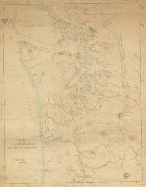
| Indian Tribe Map dated 1856- 2 x 3 feet - $39.95 |
|

|
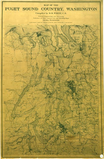
| DH White Puget Sound Map circa 1910 - 2 x 3 - $39.95 |
|
|

|
| Anderson's Puget Sound Map approx 20 x 36 inches - $39.95 |
|

|
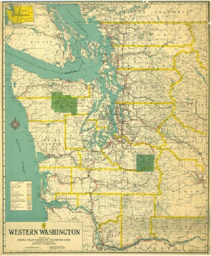
| Kroll's Western Washington Map - circa 1920's approx 28 x 36 inches - $39.95 |
|
|

|
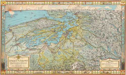
| Kroll's Evergreen Playground Map circa 1950 - approx 2 x 3 feet - $32.95 |
|

