|
|
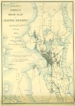
| McKee's Map of Seattle circa 1894 - $39.95 - 2 x 3 feet |
|
|
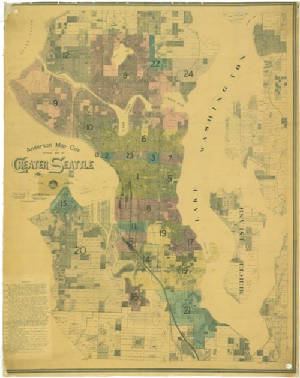
| Anderson's Seattle Wall Map showing annexations - $79.95 - 3 x 4.5 feet |
|
|
|
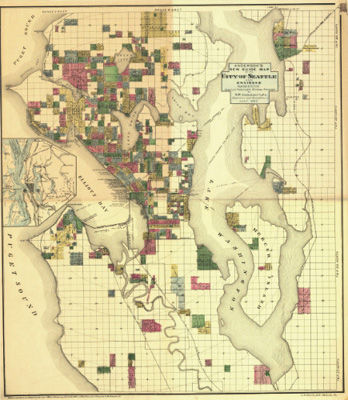
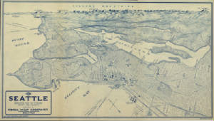
| Anderson's Map of Seattle circa 1890 - 2 x 3 feet - $39.95 |
|
|
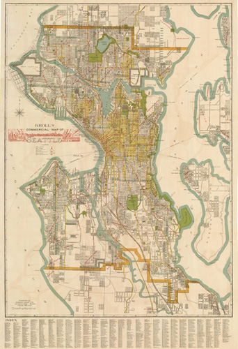
| Kroll's Map of Seattle - 1920 - 2 x 3 feet - $39.95 |
|
|
|
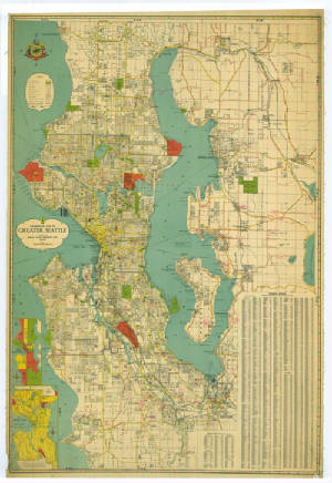
| Kroll's Greater Seattle circa 1930 - $79.95 - 3 x 4.5 feet |
|
|
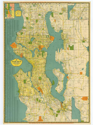
| Kroll's Greater Seattle, circa 1940's - 3 x 4.5 feet - $79.95 |
|
|
|
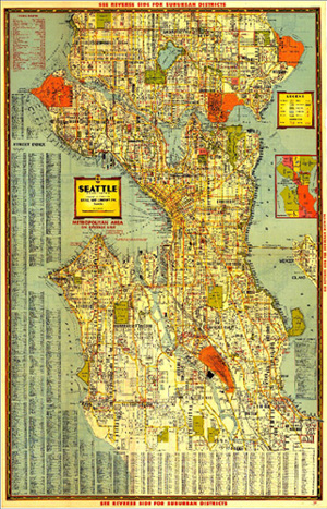
| Kroll's circa 1940 Seattle Map 2 x 3 - $39.95 |
|
|
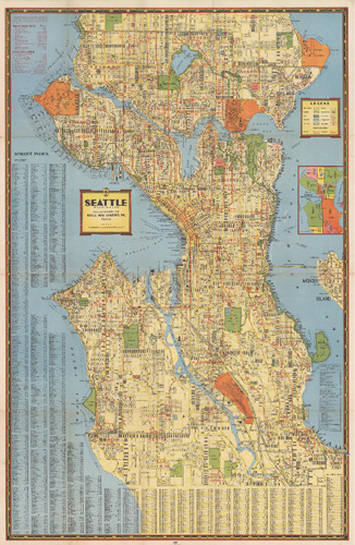
| Kroll's circa 1947 Seattle Map - 2 x 3 feet - $39.95 |
|
|
|
| Kroll's Seattle Birdseye View 1925 - 36 x 20 inches - $24.95 |
|
|
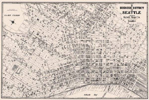
| Kroll's Seattle CBD maps - 1927, 1930, 1958, 1968,1977, 1984, 1987, 1997 |
|