Seattle Area Digital Aerial Photos

webassets/SeattleCBD2006-samplejpg.jpg

Kroll can offer USGS aerial photos as finished prints and digital images (for use on your web site or your publications), easily customized to convey the information that you want to communicate. 

webassets/aerialwithimtext.JPG

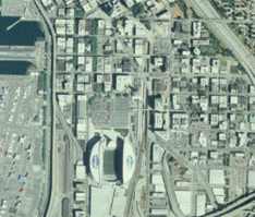
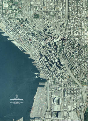
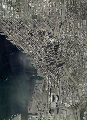
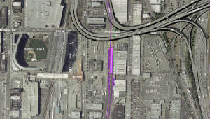
For many areas, we can selectively add features from our Integrated Mapping, such as street directional arrows, street names, and business names - creating a hybrid map graphic that communicates the information and "look" that you want.

Download hybrid map/aerial sample

webassets/SeattleCBD2006.JPG
USGS 2006

webassets/AerialCBD2002.JPG
USGS 2002

webassets/USGS1990.jpg
USGS 1990

Seattle area custom aerial plots and images (USGS)-

1990 (black and white)

2002

2006

2009

Return to Kroll Home Page