|
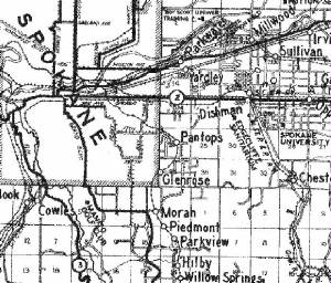
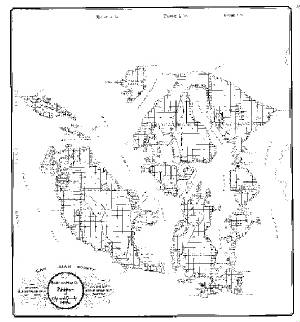
Sample portion of Kroll's Spokane County map - 1930
download Kroll/Anderson County maps in low resolution PDF (2.1MB)
|
Historical Washington State County Maps available
through Kroll:
Franklin County
Island County (1958)
Jefferson County (Anderson)
King County
Kitsap County
Kittitas County
Klickitat County
Mason County (Anderson)
Okanogan County
Pierce County
San Juan County 1971
San Juan (Anderson)
Skagit County
Spokane County 1930
Stevens
County
Thurston County
Whatcom County
(Anderson maps are pre-1911, Kroll dates, unless specified,
are unknown)
|
|
|
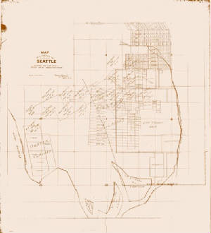
| Seattle Oyster Claim Map - circa 1890 - $39.95 |
|
Other maps recently added to our archives:
Kroll Parcel Map of Aberdeen, Washington
Kroll Parcel Map of Hoquiam, Washington
Kroll's Vashon Island,
1914
Kroll's Bainbridge Island, circa 1952
|