Historical Maps

webassets/CarlKroll.jpg

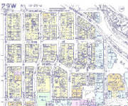
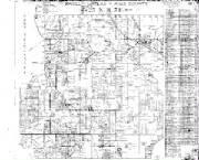
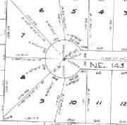
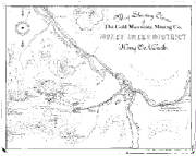
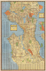
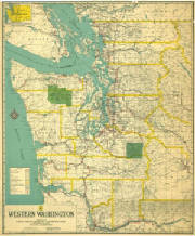
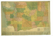
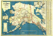
Our archives include local mapping that dates back to 1856.  We can reproduce most of these maps in a clear, expedient, and inexpensive manner.  Most of the originals can be licensed electronically and also geo-referenced for use in GIS or CAD environments.

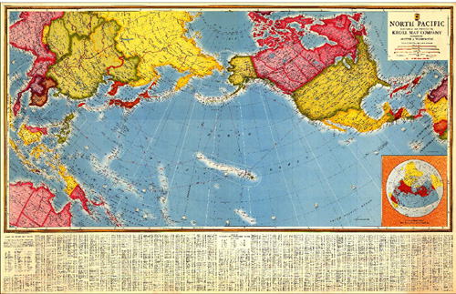
Kroll Map has an impressive collection of antique world maps, various city birdseye maps, turn of the century U.S. Maps, and international antique map reproductions as well....please see www.kroll-antique-maps.com.

webassets/C29Wcropped.JPG

Historical Kroll Atlases

webassets/fulltwppagesample.jpg

Historical Township Maps

webassets/closeupplatsample.jpg

Historical Recorded Plat Surveys

webassets/fullminingmapsample.jpg

Historical Mining Claim Maps

webassets/KrollSeattleStreetMap1940.jpg

Historical Seattle Maps by Kroll

webassets/WestWash20.JPG

Historical Puget Sound Maps

webassets/Wash13.JPG

Historical Washington State Maps

webassets/Alaska1936.JPG

Historical Alaska Maps from Kroll

webassets/KrollNorthPacific.jpg

Miscellaneous Historical Maps

Mapping Services Since 1911

Return to Kroll Home Page