|
GEO-REFERENCING
What is Geo-referencing? Technology
allows us to take your old maps and drawings and assign real-world coordinate values to the elements on the scanned hard-copy
originals. These "intelligent images" can be assigned separate layers or themes for enhanced functionality
within CAD or GIS. Your historical maps and hard-copy tracings
can have functionality within modern GIS through correlation to real-world coordinates. Kroll can scan and correlate
your traditional maps, providing spatial intelligence within GIS (or CAD).
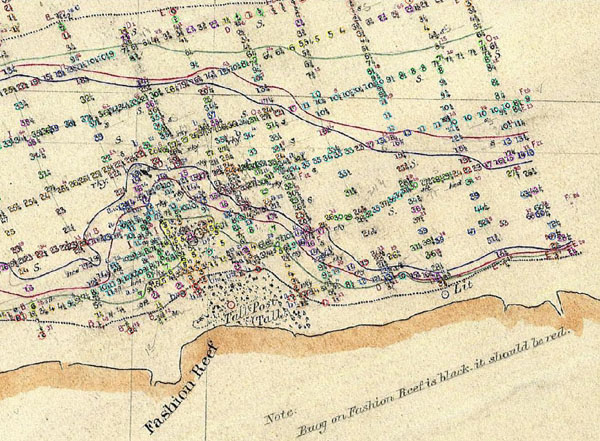
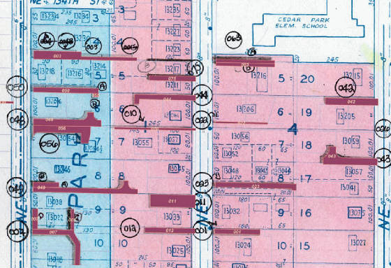
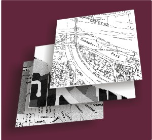
Geo-Referenced Parcel Map Sample Remember the Kingdome? This ZIP file contains 3 correlated
image files with both AutoCAD dwg and World File correlation for GIS (NAD 83 - Washington North Zone). View this area
in South of Downtown Seattle from approximately 1997.
Download Geo-referenced samples - ZIP file - 2.5 MB
|