Need a broader regional map for your Sales Territories? Do you
have sales data or marketing information that you need to display on this map? Perhaps we have the answer.
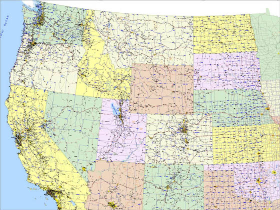
Kroll's Western United States mapping is setup to display just the area you need, and communicate just what you want.
From individual state maps to broader regional maps (e.g. West Coast states) we can plot out just the area you need, at the
size you specify, and all within a reasonable $6.00 per square foot charge ($36.00 minimum).
Create your own map - you
decide what you want to cover and the finished size.
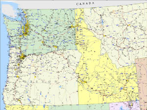
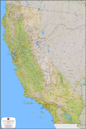
Example - Northwest States
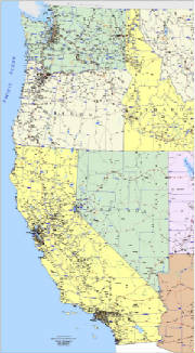
Example - Pacific Coast States
STEP #2 - Select The "Look"
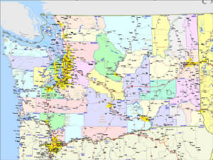
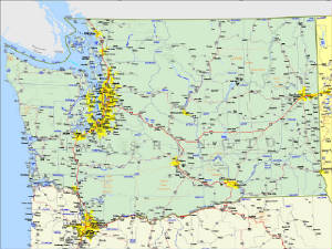
Example - Washington State Colored Counties
Example - Washington State Generic
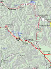
Example with terrain
Example with terrain - close up
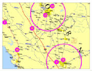
STEP #3 - Add Your Own
Information
Every business or organization has a geographic component
whether it is customer locations, competitor locations, or trade areas. We maintain custom layers for thousands of different
maps and clients, from small businesses to large corporations.